The Dhimurru Aboriginal Corporation is located at Nhulunbuy in Northeast Arnhem Land, Northern Territory, Australia. The Corporation manages land on behalf of Yolngu, Traditional Owners.
The Dhimurru Indigenous Protected Area (IPA) comprises approximately 550,000 hectares of Yolngu land and sea country. In Australia an IPA is an area of land and/or sea country that is voluntarily dedicated by Traditional Owners as non-legislated protected areas and managed by Indigenous Rangers and partner organisations according to protected area guidelines of the International Union for the Conservation of Nature.
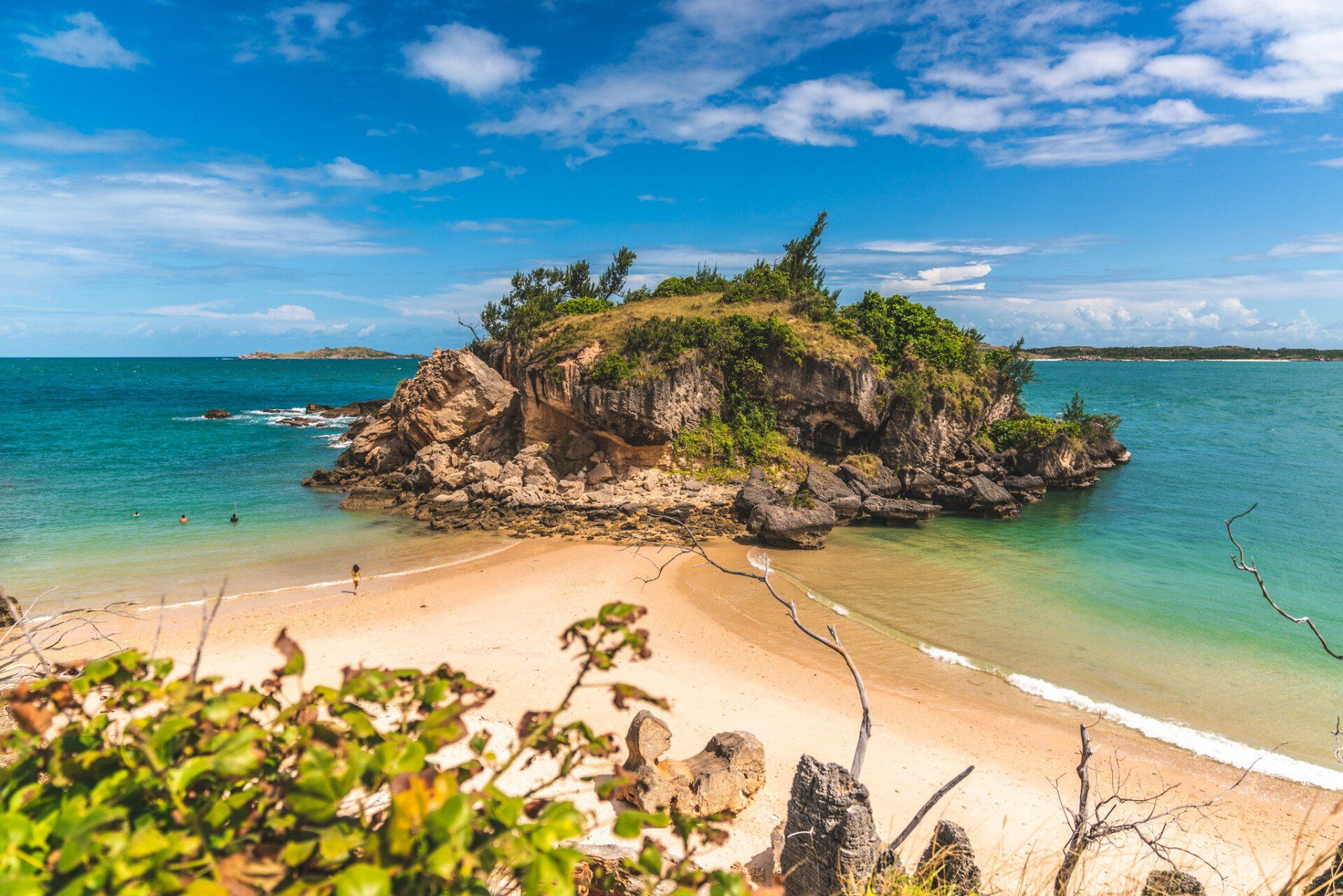
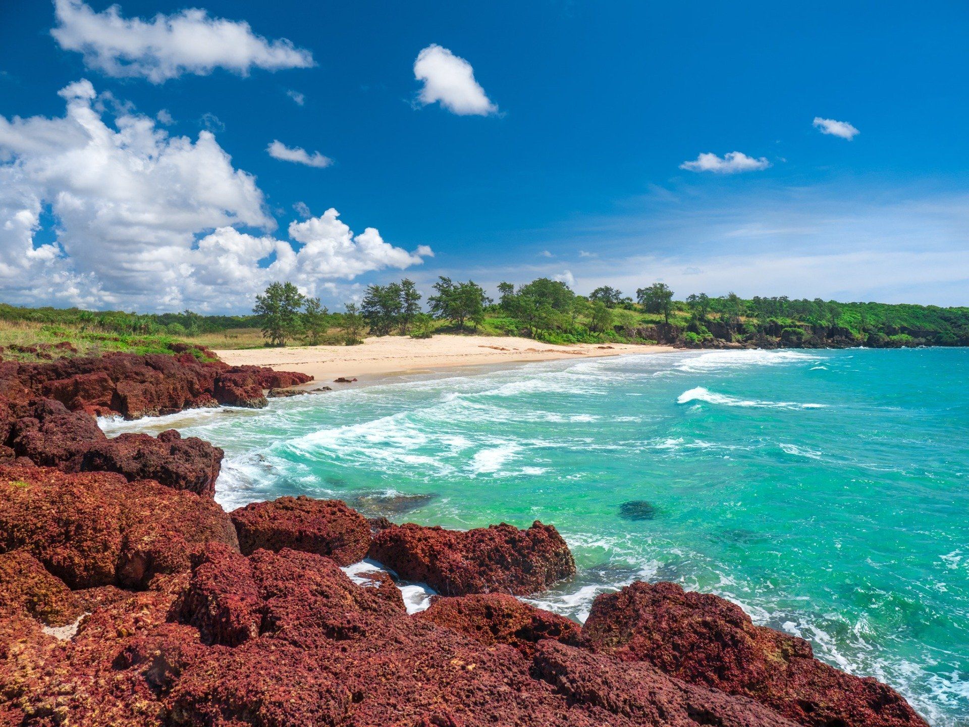
The Dhimurru IPA encompasses considerable ecological diversity - it includes spectacular rocky and sandy coastlines and islands with dune fields, beach ridge and bauxite plains as well as tall open eucalypt forests and numerous patches of monsoon forest. It is the home of 13 different species of frogs, 76 different reptiles, 207 different birds and 35 different mammals. It houses the most extensive and diverse coral reef network in the Northern Territory and its sea country contains a wealth of fish, sea snakes and other marine life.
To effectively manage and minimise the visitor impact to the IPA, Traditional owners tasked the Dhimurru Aboriginal Corporation to implement and manage a visitor and camping permit system enabling people to have access to popular recreational areas on Aboriginal land whilst ensuring that landowners requirements are met.
The Project
In 2020 the Dhimurru Aboriginal Corporation engaged DigitalRez to provide an online system for visitor and camping permits onto country.
DigitalRez has incorporated into Dhimurru Aboriginal Corporation’s website their premier online booking system - RezExpert (https://online.rezexpert.com/permits?business_code=500626), an online booking interface allowing visitors to purchase visitor access permits as well as camping permits (booking camp sites).
Using the RezExpert management system has opened 24/7 access for guests to apply for permits, view real time availability of campgrounds and offer real convenience for visitors located within the region and worldwide. The resulting bookings are better prepared, well-informed and culturally sensitive visitors.
For the Dhimurru Aboriginal Corporation, the RezExpert online booking system has been easy for visitors and staff to access and it’s centralised data management features have greatly improved the administration and monthly reporting of permits. RezExpert provides comprehensive reporting options with data export available to Microsoft Excel for reporting requirements of all stakeholders.
The system has also aligned with and fulfilled the goals of the Traditional Owners, allowing them along with the Dhimurru Aboriginal Corporation to continue to invest in further community projects and provide effective management of recreation areas within the IPA.
Cultural experiences
Wurrwurrwuy: Macassan Stone Pictures
Wurrwurrwuy is the Yolngu name of the area near Garanhan where there is a unique cluster of stone arrangements behind the rock-shelf.
The area covered by these ‘stone pictures’ is approximately 70 metres by 80 metres. The outline pictures provide a window into the trade between the Yolngu of north east Arnhem Land and Indonesians that had existed for several centuries until 1907 when South Australia, which administered the Northern Territory at the time, began using aggressive measures to collect customs duty. The Indonesians, mostly from Macassar in Sulawesi, came annually for trepang (dharripa or sea cucumber), turtle shell, and pearl shell to sell to Chinese traders.
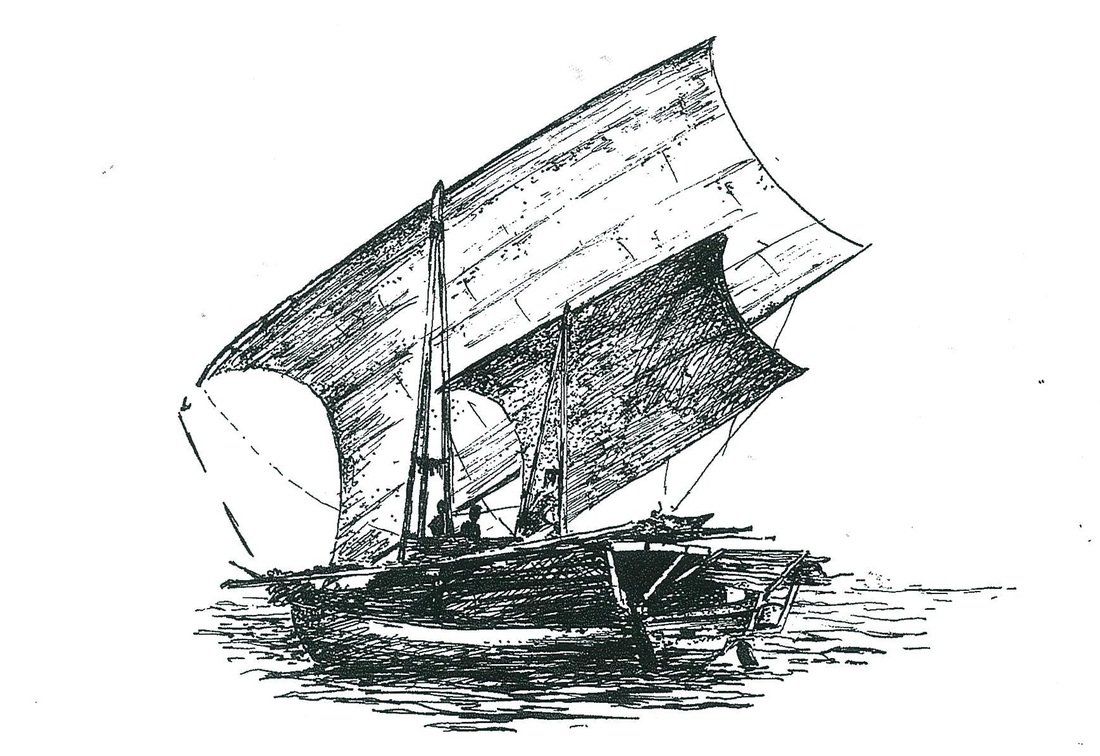
They sailed in their tri-masted praus on the northwest monsoon winds, and returned on the southeast trade winds. The Macassans acknowledged the Yolngu as owners of the land and the marine resources, and relations between Yolngu and Macassans were generally business-like and often cordial. Matthew Flinders, on his circumnavigation of Australia, encountered a fleet of Macassans near Cape Wilburforce in 1803 and spoke with Pobasso, the captain. Pobasso told him that two or three Yolngu sailed each year with the fleet to Macassar and that some had remained there.
The stone pictures were probably constructed by Yolngu elders toward the end of the nineteenth century, and in the 1960s clan leaders Mungurrawuy Yunupingu and Mawalan Marika told Campbell Macknight that the arrangements had been made by older members of their families so that future generations of Yolngu would know the history of the Macassan visits. Mungurrawuy’s father had actually been to Macassar. The photographs indicate that as of 1967 Yolngu kept the site clear of woody weeds and the stones free of obstruction.
The arrangements can conveniently be viewed in four clusters (I – IV) and interpretive signage will guide you in an anti-clockwise direction around the walking path.
Macknight, C. C. and W. J. Gray, Aboriginal Stone Pictures in Eastern Arnhem Land.
Canberra: Australia Institute of Aboriginal Studies, 1970.
Coastal Walking Trails
This walking track constructed by Dhimurru runs parallel to the coastline and offers visitors the opportunity to cover land and sea belonging to several clans.
Elders have also provided interpretative material to assist visitors in understanding the rich Yolngu environment, and the variety of resources available.
Binydjarrŋa to Garanhan (3.2 km)
The trail begins by ascending from the fine white sand beach into a hilly area with scattered rocks called dhumurr. This is eucalypt open woodland and among the understorey plants are Dhalpi (Livistonia enermis, five fingered sand palm) and many other trees, bushes, and vines that Yolngu use for food, medicine and the manufacture of domestic containers and ritual objects. The trail crosses a private road leading to a local residence. To the right is an area named Bandalal, a retja (monsoon vine thicket or jungle). The track then meets the road leading to Garanhan and passes a fenced area containing the Macassan stone pictures. The trail continues on to the beach area at Garanhan.
Garanhan to Ŋumuy (2.5 km)
The trail leads inland from the beach in a northerly direction, initially up a steep dune. On both sides of the trail there are patches of large trees including Larrani (Syzygium suborbiculare, red bush apple), Ganyawu (Semecarpus australiensis, native cashew) and Gunga (Pandanus spiralis, pandanus). The trail follows the edge of a paperbark swamp. This is a lagoon during the wet season and food plants such as Wakwak (Nymphaea macrosperma, water lillies) and Råkay (Eleocharis dulcis, water chestnuts) are collected. Inland from the coastal dune and north of the paperbark swamp are areas of monsoonal rainforest that are rich in another popular food plant, Ganguri, or yam. The trail leaves the forest and follows the edge of the bauxite headland, with views south-east to Daliwuy, and north to Barinjura. Following the coast the trail then descends the rock face through a patch of rainforest to the camping area near the beach.
Ŋumuy to BariŊura (1.5 km)
The trail ascends from the beach through an area of dense monsoon vine thicket with abundant birdlife. The trail then leads into a sparse open forest and onto a laterite shelf with views eastwards to the Gulf of Carpenteria. Isolated sandstone boulders and grey termite mounds are scattered across the shelf. The strong south-east trade winds that blow across the Gulf during dry season contribute to the pattern of vegetation in these exposed areas. Lateritic outcrops and sandy or shelly beach ridges support small intermittent patches of coastal vine forest. The vegetation along the narrow foreshore is subject to salt-laden abrasive winds and strong wave action, which creates mobile sand dunes and a fragile plant environment. The trail continues on through a stand of Mawurraki (Casuarina equisetifolia, casaurina), and then descends to a relatively sheltered white sand beach at Barinura.


